Daikoku PA Map: The Night-Run Route and Every Meet Spot On It
Daikoku PA sits at 35.46 north, 139.68 east, on a man-made wharf island in Yokohama, and the only way in is by car on the expressway. This daikoku pa map plots the meet itself and the ten other places a Tokyo night run actually touches, the backup meets, the two great bridges, the C1 loop and the scheduled stops, each joined to the guided rides that reach it. Filter by a word, tap a bubble, and you can see in one glance which tour covers the corners of the bay you care about, as of August 2026.
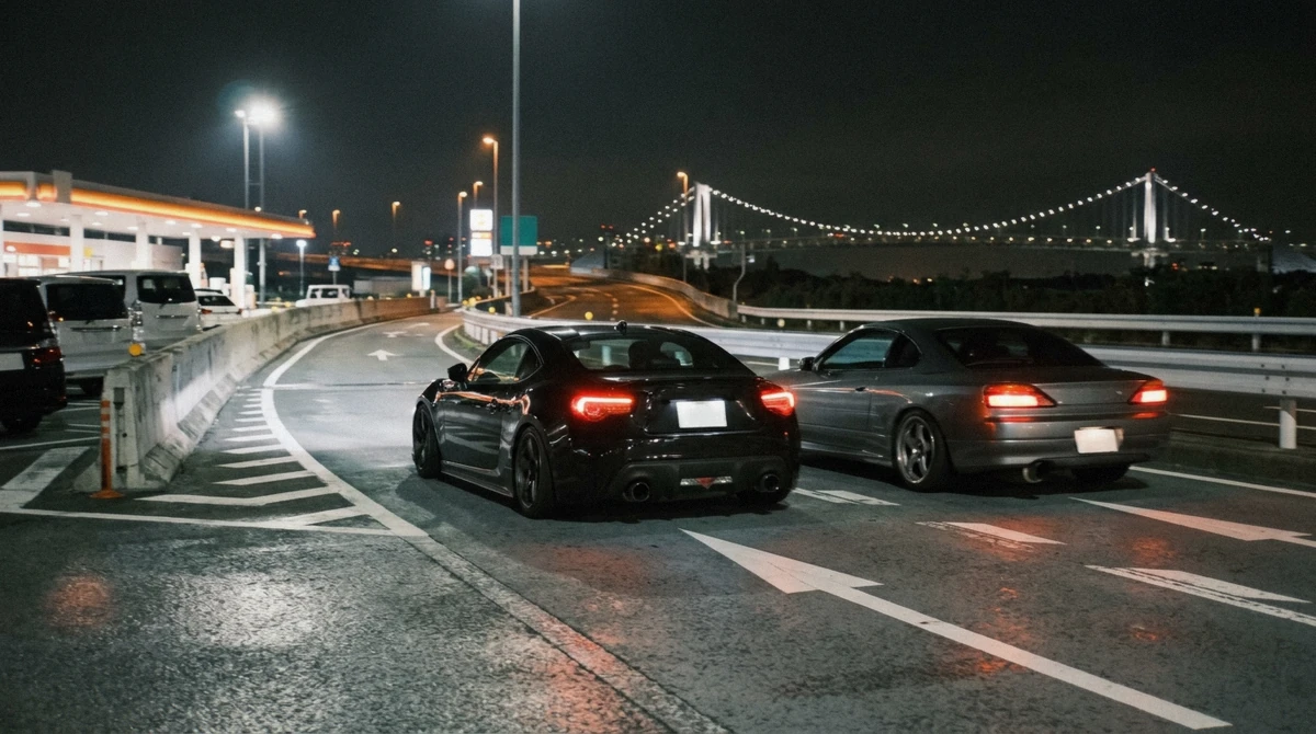
Quick answer
Daikoku PA is on Daikoku Futo island in Tsurumi ward, Yokohama, reachable only from the Shuto expressway. Most guided runs start in central Tokyo or near Yokohama Station, cross the Rainbow Bridge, run the Wangan south and land at the meet after the Yokohama Bay Bridge.
Key takeaways
- The meet itself is at 35.46 N, 139.68 E, about 30 minutes from central Tokyo by expressway
- All of the guided rides end at Daikoku PA; the GT-R generation tour also visits Tatsumi PA
- The private convoy can route over the bay to Umihotaru PA instead
- There is no walk-in access to any expressway parking area, tap a bubble to see which tours reach it
- If police close Daikoku on your night, runs reroute to Tatsumi PA, the Tokyo-side backup
The Night-Run Map
Bubbles grow with the number of guided rides that reach each place, so a small circle is information in itself. Filter by anything: a spot, a word from a description, or a tour name.
The same stops, in text
Coordinates come from OpenStreetMap, checked in August 2026. The C1 loop and the Wangan are listed without pins because they are roads, not points; placing a dot on a 14.8 km loop would be guesswork dressed as data.
-
Daikoku PA
Every tourThe main event. A 1989 rest stop inside a looping expressway junction on Daikoku Futo island, adopted by Japan's tuning scene as its most famous gathering point. Every ride in our catalog ends here.
Stops here: Skyline/RX-7 night, $118, Street-team ride, $117, Evo/WRX/Skyline run, $124, Scene tour + Tower, $103, Night highway run, $125, Private convoy, $103, GT-R choice, $299, Local speed, $54, Private R34, $427
-
Tatsumi PA (No.1)
1 of the toursThe Tokyo-side parking area on the Bayshore Route, a smaller and moodier meet spot with the Ariake skyline stacked behind the guardrail.
Stops here: GT-R choice, $299
-
Umihotaru PA
1 of the toursA five-storey rest stop built on an artificial island in the middle of Tokyo Bay, where the Aqua-Line tunnel surfaces and becomes a bridge.
Stops here: Private convoy, $103
-
Shibaura PA
No tourA compact parking area on the Daiba line right before the Rainbow Bridge, a small local meet that police added to their patrol list in 2025.
No tour in our catalog schedules a stop here; drivers pass it on the Daiba line approach.
-
Rainbow Bridge
5 of the toursThe 798-metre suspension bridge over the top of Tokyo Bay, opened in 1993, and the signature crossing of nearly every night run.
Stops here: Skyline/RX-7 night, $118, Evo/WRX/Skyline run, $124, Night highway run, $125, GT-R choice, $299, Local speed, $54
-
Yokohama Bay Bridge
No tourThe 860-metre cable-stayed bridge from 1989 that lands traffic almost directly onto Daikoku Futo, the final approach of the night.
Every run to Daikoku crosses it in the final minutes; no tour stops on the bridge itself.
-
C1 Inner Circular Loop
1 of the toursThe original 14.8-kilometre loop of the Shuto expressway around central Tokyo, all tunnels, banked curves and elevated concrete.
Stops here: Evo/WRX/Skyline run, $124
-
The Wangan (Bayshore Route)
5 of the toursThe wide, fast bayside artery linking Tokyo and Yokohama, the road that gave the night-run culture its name and its folklore.
Stops here: Skyline/RX-7 night, $118, Street-team ride, $117, Evo/WRX/Skyline run, $124, Scene tour + Tower, $103, Night highway run, $125
-
A-PIT Autobacs Shinonome
4 of the toursTokyo's largest car parts and tuning store, at 2-7-20 Shinonome in Koto, where several runs schedule a 30-minute browse.
Stops here: Skyline/RX-7 night, $118, Evo/WRX/Skyline run, $124, Night highway run, $125, Local speed, $54
-
Tokyo Tower
5 of the toursThe 333-metre orange lattice tower, lit after dark, with a service road below it that works as a five-minute photo stop with the car in frame.
Stops here: Skyline/RX-7 night, $118, Evo/WRX/Skyline run, $124, Scene tour + Tower, $103, Night highway run, $125, GT-R choice, $299
-
Shibuya Crossing
1 of the toursThe busiest pedestrian scramble in the world and the neighbourhood where several runs start or finish the night.
Stops here: Evo/WRX/Skyline run, $124
How to Read This Map
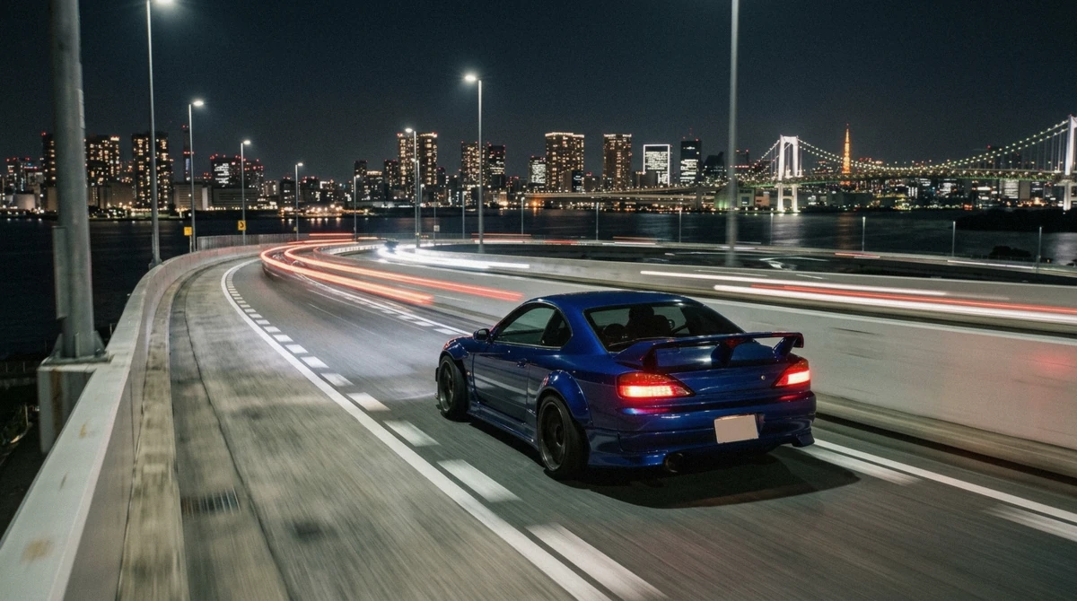
The geography explains the whole culture. Central Tokyo sits at the top of the bay, Daikoku at the bottom west, and the Wangan runs between them along the waterfront. A night run is a lap of that shoreline: out over the Rainbow Bridge, south past the container terminals, over the Yokohama Bay Bridge, and down the spiral into the Daikoku loop. The two pinless entries, the C1 and the Wangan, are the connective tissue; every pinned point except Umihotaru hangs off one of them.
Bubble size is the honest part. Daikoku dwarfs everything because every ride in the catalog finishes there. Tatsumi carries one scheduled visit, on the GT-R generation tour, and doubles as the reroute target on closure nights. Shibaura and the Yokohama Bay Bridge stay small, which tells you the industry passes them rather than stops, a fact no listing page will volunteer.
Where the runs actually start
There is no single departure point. The Evo, WRX and Skyline run works around Shibuya, several operators meet riders in central Tokyo hotel districts, and the value rides gather near Yokohama Station, which is about 30 minutes from Tokyo Station by train. Your confirmation email names the exact corner.
If you are choosing between rides partly on logistics, the pickup area matters more than the route, because every route converges on the same lot.
Distances and Drive Times Between the Pins
Times assume free-flowing late-evening traffic, which is what the runs are scheduled around; the same legs at 18:00 can take double. Legs are approximate road distances, not straight lines, and the loop ramps at Daikoku add a few minutes of spiral on every arrival. Last verified: August 2026.
| Leg | Distance | Time by expressway | What you pass |
|---|---|---|---|
| Shibuya to the Rainbow Bridge | About 9 km | 15 minutes | The C1 ramps and the Daiba line approach |
| Rainbow Bridge to Daikoku PA | About 25 km | 20 to 25 minutes | The Wangan waterfront and the Yokohama Bay Bridge |
| Daikoku PA to Tatsumi PA | About 28 km | 25 minutes | The whole Wangan northbound, the reroute drivers use on closure nights |
| Daikoku PA to Umihotaru PA | About 30 km | 25 to 30 minutes | The Bayshore east leg and the Aqua-Line out over the water |
| Yokohama Station to Daikoku PA | About 8 km | 10 to 15 minutes | The K5 Daikoku line, the short hop the value rides use |
Getting to the Places on This Map
None of the expressway parking areas on this map can be reached on foot, by train or by bus, and taxis that drop you at Daikoku routinely cannot come back for you. The full breakdown of taxi prices, tolls and the rental-car route lives in our guide to reaching Daikoku without a tour; the short version is that a guided ride into the meet is the only way in that does not carry a stranding risk. A-PIT Autobacs, Tokyo Tower and Shibuya Crossing are ordinary city addresses you can visit any day; it is the four parking areas that sit behind toll gates.
If you are comparing the rides themselves rather than the geography, the guided runs into Daikoku PA are lined up on our homepage with prices, ratings and the cars each one uses, and the budget end of the catalog starts at $54.
Daikoku PA Map: Frequently Asked Questions
Where exactly is Daikoku PA located?
On Daikoku Futo, a man-made wharf island in Tsurumi ward, Yokohama, at roughly 35.46 north, 139.68 east. It sits inside a looping junction where the K5 Daikoku line meets the Bayshore Route, about 30 minutes by expressway from central Tokyo.
Which stops do the guided tours actually visit?
Every ride ends at Daikoku PA. Along the way, most cross the Rainbow Bridge and run the Wangan; five stop at Tokyo Tower, four browse A-PIT Autobacs, one schedules Tatsumi PA and the private convoy can route to Umihotaru instead. The map's bubbles and each stop's card list the exact rides.
Where is the backup meet if Daikoku is closed?
Tatsumi PA No.1, on the Tokyo side of the bay, is the usual reroute, with Umihotaru as the over-water alternative. Guided drivers check conditions on the night and adjust, which is a large part of what you pay them for.
Where do the night-run tours pick you up?
Around Shibuya and central Tokyo for most rides, or near Yokohama Station for the value runs. The exact meeting corner arrives with your booking confirmation, and drop-off usually mirrors the pickup.
What is the Wangan on this map?
The Bayshore Route of the Shuto expressway, the fast waterfront artery between Tokyo and Yokohama. It appears without a pin because it is a road roughly 70 kilometres long; the leg the runs use, Rainbow Bridge to the Daikoku ramps, takes about 30 minutes.
Why do some stops show no tour at all?
Because that is the truth of the itineraries: nobody schedules Shibaura PA, and nobody can stop on the Yokohama Bay Bridge. We map them anyway because you will see both from the car, and knowing what is passing the window is half the pleasure of the run.
Why the Geography Is the Story
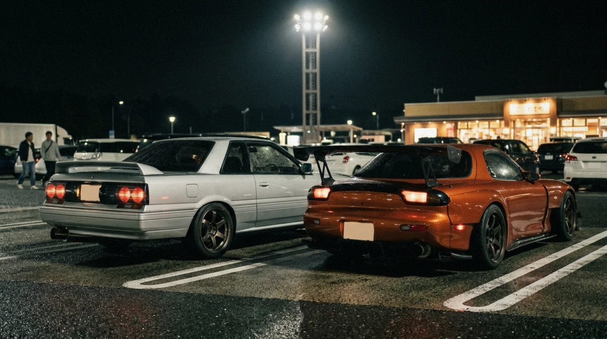
Most famous car scenes grew around a street or a district; Tokyo's grew around infrastructure. The expressway network threw up rest stops with huge lots, the toll system kept casual traffic out after dark, and the bay gave the roads their long, fast, beautiful shape. That is why this map has no bar district and no showroom on it: the culture literally lives on the road network, and the parking areas are its living rooms.
It is also why visiting is harder than it looks and why the join between spots and rides matters. You cannot walk into any of the red pins, and the blue ones are experienced at 80 kilometres an hour. The one map that matters for a visitor is not where the places are but which seat gets you to them, which is exactly the join the bubbles above encode. A map like this is really a menu: pick the corners of the bay you want your night to touch, then choose the ride that strings them together; the lot at the centre takes care of itself.